Delaware Map
Discover the First State Through Maps, Guides, and Local Insights

State Capital
Dover

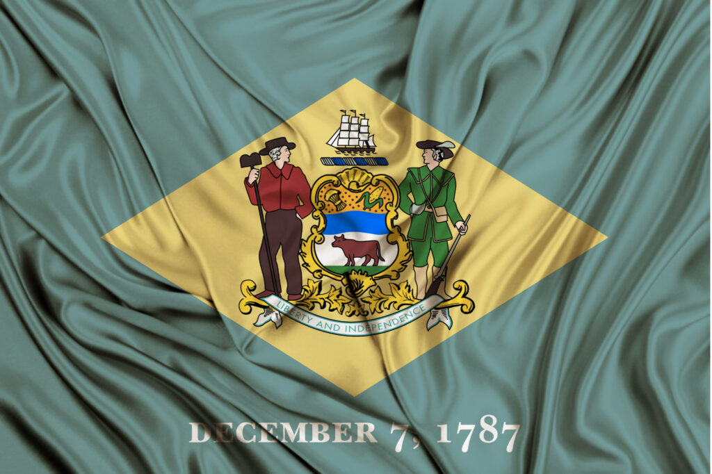
Founded
December 7, 1787

Second Smallest State
2,488 Square Miles

Nickname
The First State
State Snapshot
Capital: Dover
Founded: December 7, 1787
Area: 1,982 sq miles
Nickname: The First State
Counties: New Castle, Kent, Sussex
State Bird: Blue Hen Chicken
State Tree: American Holly
State Flower: Peach Blossom
Population: Approximately 1 million
Explore a range of maps showcasing Delaware’s various features and regions. From infrastructure to state parks, these maps serve as helpful guides for navigating the state and discovering its many points of interest.

Delaware Airport Map
Discover everything you need to know about Delaware airports and aviation with our comprehensive guide. Find detailed information about airports, temporary flight restrictions (TFRs), and air traffic patterns across The First State.
View →

Delaware Road Map
Explore Delaware’s road map, featuring key interstate highways, major routes, and scenic byways. Navigate the First State with ease using our detailed guide.
View →

Delaware Lighthouse Map
Delaware’s historic lighthouses have guided mariners for centuries and stand as symbols of safety, history, and coastal heritage. Explore these iconic beacons along Delaware’s scenic shores.
View →

Delaware’s Most Dangerous Intersections
Discover the state’s most hazardous intersections, why they’re risky, and tips to navigate them safely to reduce accidents and protect yourself on the road.
View →
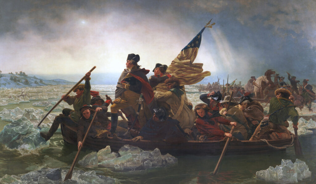
Delaware’s Historical Significance
Delaware holds a pivotal place in American history as the first state to ratify the United States Constitution. Originally settled by Swedish colonists in 1638, it played a crucial role in the formation of the new nation. Its strategic location and early commitment to independence made it a key player in the American Revolution.